Paris - Transportation
- vinhn210
- Jun 27, 2022
- 2 min read
Updated: Jul 11, 2022
The best ways to explore Paris is to use the metro, ride the trains, and walk!
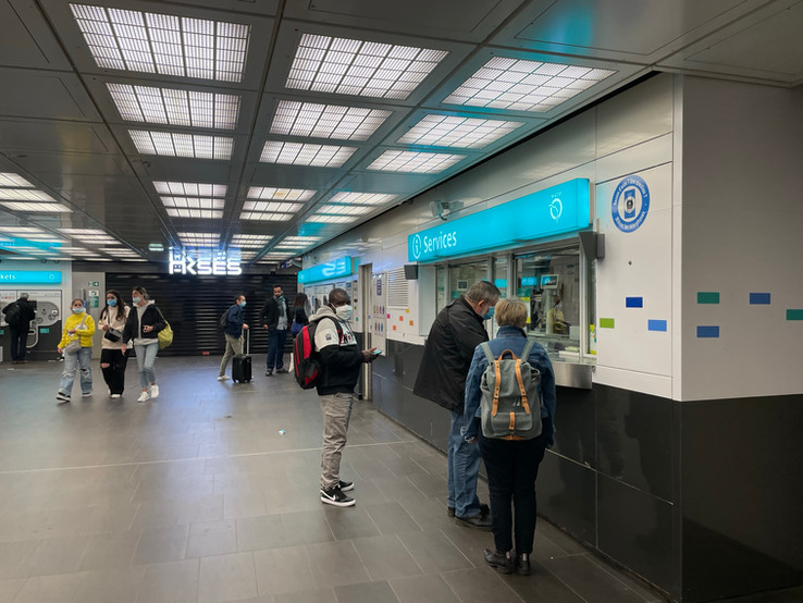
To ride the metro, you can purchase t+ tickets where a one-way ride is €1.90 and a packet of 10 one-way t+ tickets (a carnet) is €14.90. The Navigo Decouverte pass is not as well known but is a MUCH cheaper method to get around Paris compared to the more advertised Paris Visite pass. The Navigo Decouverte pass allows for unlimited uses within a week and covers all metro trains in Paris, as well as trains in Paris and to Versailles and Paris-Charles de Gaulle and Paris-Orly airports. It costs €22.90 for the week and a €5 fee for the physical card. IMPORTANT: each week starts on Monday at 12:00 AM (0:00) and ends on Sunday at 11:59 PM (23:59). You can purchase this pass at many metro stations (ask the worker at the ticket desk, I showed the woman a picture of the pass and said I wanted one for the upcoming week) and at Paris-Charles de Gaulle airport. You can activate the pass for the upcoming week starting Friday of the current week.
For the Navigo Decouverte pass, be sure to either bring a photo of your face (2.5 cm x 3 cm) to stick on your card as identification and a pen to write your name on the card. I took a selfie, printed it out, and brought it with me. There is a peel-off sticker on the card where your picture goes. If you forget to print a picture of your face, there are plenty of Photomaton booths to take pictures, but it costs €6-10 as you will get 6 of the same photo. Occasionally, there will be workers at the metro stations at night who will scan your card before going to the turnstiles and you can be fined for not having a picture on your Navigo Decouverte pass. For a more comprehensive guide about this pass, please refer to this website. Since my mom and I arrived in Paris on Friday morning, we used 2 carnets to get around Paris Friday-Sunday and used the Navigo Decouverte pass Monday-Thursday.
In terms of getting around the city, I would recommend downloading the Citymapper app as it is free and helps you navigate to your destination super easily. You would choose the location you want to go to and they would show all the potential public transportation routes near you (tram, train, bus, walking, etc.), the times they depart, and how long to expect for the commute. It also acts as a map so it will help you navigate and check where you’re going as well.


Swipe to see more pictures!


Comments